Geospatial Analytics: Enhancing Property Evaluation
13 June 2026
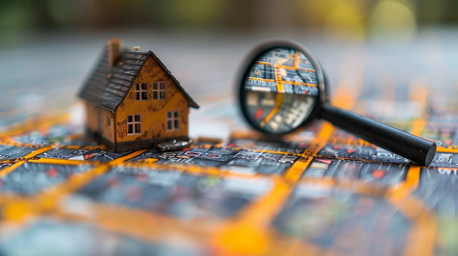
When it comes to buying or selling real estate, location isn’t just a factor—it’s the factor. But how do you actually measure the quality of a location beyond a gut feeling or a real estate agent’s pitch? That’s where geospatial analytics steps in, like a superhero armed with maps and data, transforming property evaluation from an art into a science.
In this article, we’ll dive into how geospatial analytics is shaking up the real estate industry, making property valuation smarter, faster, and way more precise. Buckle up!

What is Geospatial Analytics?
Before we geek out on how geospatial analytics enhances property evaluation, let’s break down what it actually is.Geospatial analytics is the process of gathering, analyzing, and interpreting geographic data to uncover patterns, relationships, and trends. Think of it as Google Maps on steroids—it doesn’t just show you where something is but also tells you why that location matters.
For real estate professionals, this data goldmine can uncover insights on everything from crime rates and traffic flows to air quality and school district boundaries. In short, geospatial analytics isn’t just about where a property is—it’s about why that location adds (or subtracts) value.

How Geospatial Analytics is Revolutionizing Property Evaluation
Now that we know what geospatial analytics is, let’s look at how it’s transforming property evaluation.1. Pinpointing Property Value with Precision
Traditionally, property valuation relied on recent sales data, neighborhood trends, and a bit of educated guesswork. But with geospatial analytics, valuation becomes hyper-accurate.By analyzing various data points—such as historical property performance, environmental risks, and socio-economic factors—geospatial analytics can estimate a property’s worth with jaw-dropping accuracy. No more relying solely on gut feelings or outdated comps!
2. Neighborhood Insights Like Never Before
Ever wondered why two houses on the same street can have drastically different values? The answer lies in geospatial data.Geospatial analytics dives deep into neighborhood trends, highlighting:
- Crime rates and safety levels
- Proximity to top-rated schools
- Local job market strength
- Access to public transportation
- Walkability scores
In other words, it provides a 360-degree view of a neighborhood, ensuring buyers and investors make informed decisions.
3. Identifying Hidden Risks (Before They Become Nightmares)
Wouldn’t it be great to know if that dream home sits in a flood zone before buying it? Geospatial analytics makes that possible.By mapping out environmental risks like flooding, wildfires, earthquakes, and pollution, geospatial tools help investors dodge potential disasters. No one wants to wake up to the realization that their new property is sinking—literally.
4. Smarter Site Selection for Investors and Developers
For real estate developers and investors, picking the right location is everything. But instead of playing a guessing game, geospatial analytics provides crystal-clear insights into factors like:- Population growth trends
- Market demand and competition
- Infrastructure and future development plans
Want to know if a neighborhood is on the verge of a real estate boom? Geospatial analytics can predict emerging hotspots before they explode in value.
5. Enhancing Marketing Strategies for Real Estate Agents
Real estate agents, listen up—geospatial analytics isn't just for valuation; it's a marketing goldmine.By leveraging location-based insights, agents can:
- Target the right buyers with hyper-local marketing
- Showcase neighborhood perks using data-driven storytelling
- Offer virtual neighborhood tours with interactive maps
This means less time convincing buyers and more time closing deals.
The Role of AI in Geospatial Analytics
Now, let’s kick things up a notch. When you combine geospatial analytics with artificial intelligence (AI), magic happens.AI-powered geospatial tools can crunch massive amounts of data in seconds, spotting trends and correlations that humans might miss. For instance, AI can analyze years of satellite imagery to detect urban expansion, helping investors identify areas poised for growth.
In short, AI and geospatial analytics are like a power couple in the real estate world—unstoppable together.

Challenges of Geospatial Analytics in Real Estate
Of course, no technology is perfect. While geospatial analytics is game-changing, it does come with a few hurdles:- Data Overload: Too much data can be overwhelming. Distilling valuable insights from raw numbers requires expertise.
- Privacy Concerns: Collecting extensive location data raises privacy issues that need to be handled responsibly.
- Access to Quality Data: Not all geospatial data is freely available or up-to-date, which can impact analysis accuracy.
Despite these challenges, the benefits far outweigh the cons—especially as technology advances.
The Future of Geospatial Analytics in Property Evaluation
Looking ahead, geospatial analytics is only going to get smarter. With advancements in AI, machine learning, and real-time data collection, property evaluation will become more precise, predictive, and personalized.Imagine a future where you can scan a property with your smartphone and instantly get a full breakdown of its value, neighborhood insights, and potential risks. That’s not science fiction—it’s where we’re headed.
Final Thoughts
Geospatial analytics is redefining how we evaluate real estate, turning location data into powerful insights. Whether you're a homebuyer, investor, developer, or real estate agent, this technology is a game-changer.So, the next time you're weighing property options, don’t just trust your instincts—trust the data. Because in the world of real estate, knowledge isn't just power; it's profit.
all images in this post were generated using AI tools
Category:
Real Estate AnalyticsAuthor:

Cynthia Wilkins
Discussion
rate this article
1 comments
Zacharias Coleman
Geospatial analytics is revolutionizing property evaluation by integrating location data with market trends. This approach not only improves accuracy but also uncovers hidden opportunities in real estate investments. As technology advances, leveraging these insights will become essential for informed decision-making in a competitive market.
June 21, 2026 at 3:21 AM
Cynthia Wilkins
Absolutely, geospatial analytics is a game changer for property evaluation. By combining location data with market trends, it reveals insights that can transform investment strategies. As the tech evolves, staying ahead with these tools will be crucial for success.